
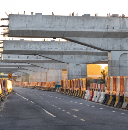
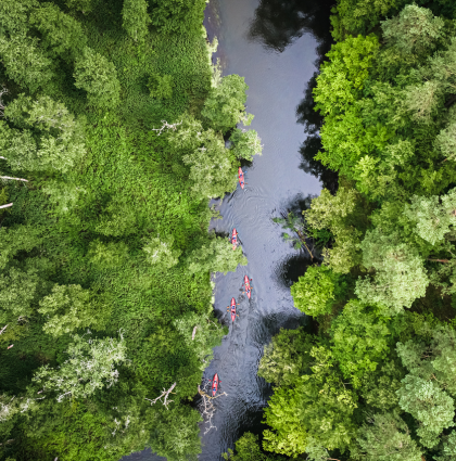
The goal is to provide accurate and georeferenced three-dimensional data that enable a complete understanding of structures, the surrounding environment, and site conditions.
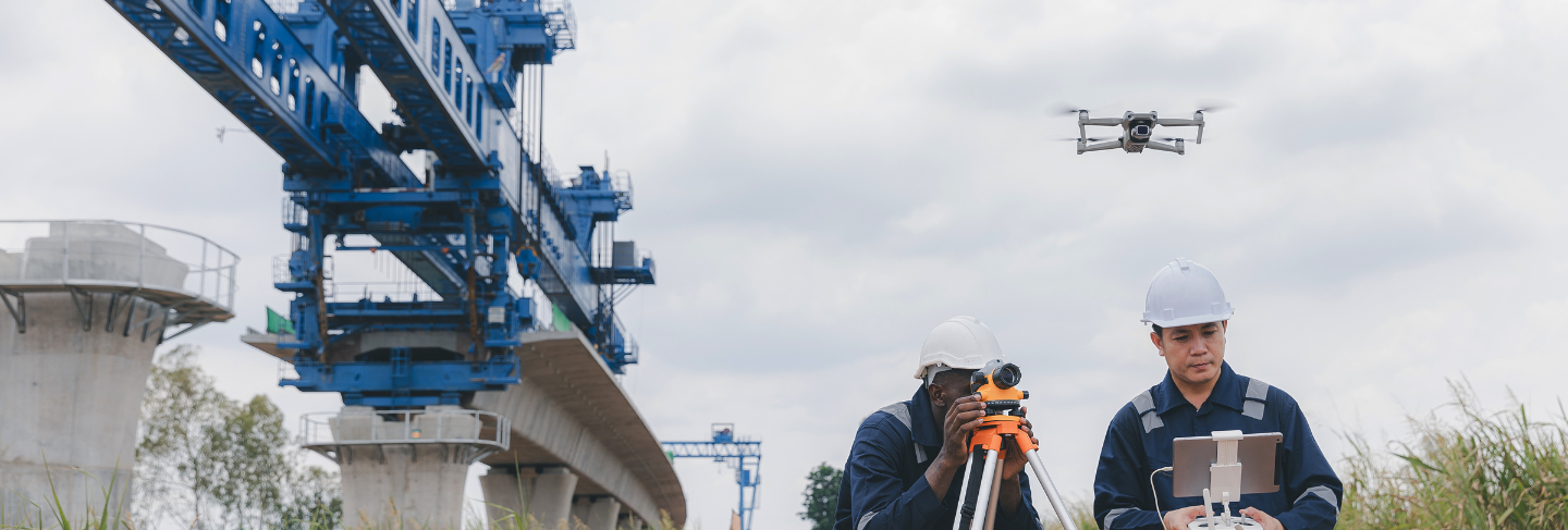
The available drones include two main types and are equipped with RTK/PPK satellite navigation systems, high-resolution optical sensors, and interchangeable payloads. Thanks to this versatility, it is possible to perform missions over large areas or in complex urban environments with maximum efficiency and safety.
Benefits for Clients
Avanguardia's multidisciplinary approach and constant focus on technological innovation make it a strategic partner for those seeking reliable and digital solutions for territorial and infrastructure management. Every survey is an investment in knowledge, safety, and sustainability.
Among the systems available, Avanguardia can provide:

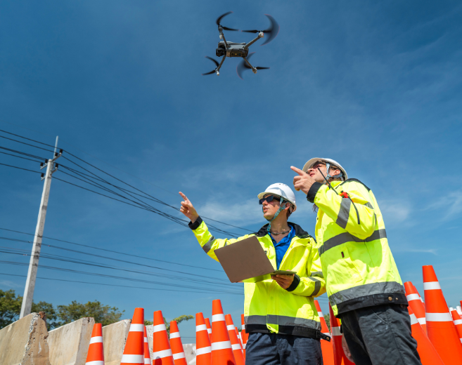


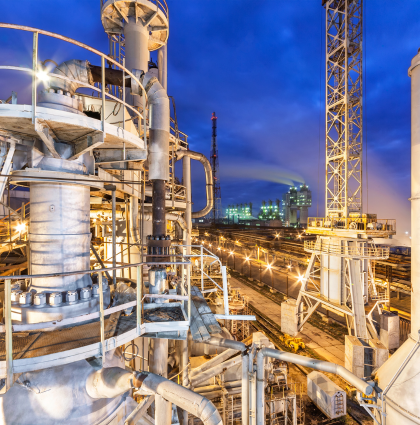
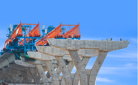
Avanguardia provides survey and analysis services applicable to a wide range of civil and environmental engineering contexts. Each project is carefully planned and tailored to client needs, ensuring precision, safety, and operational efficiency.


Our commitment is to uphold global quality standards, safety, and accuracy in every project we deliver.
Whether it’s innovation, growth, or collaboration, this is where ideas find direction, challenges meet solutions, and partnerships unlock lasting impact.
Contact Us